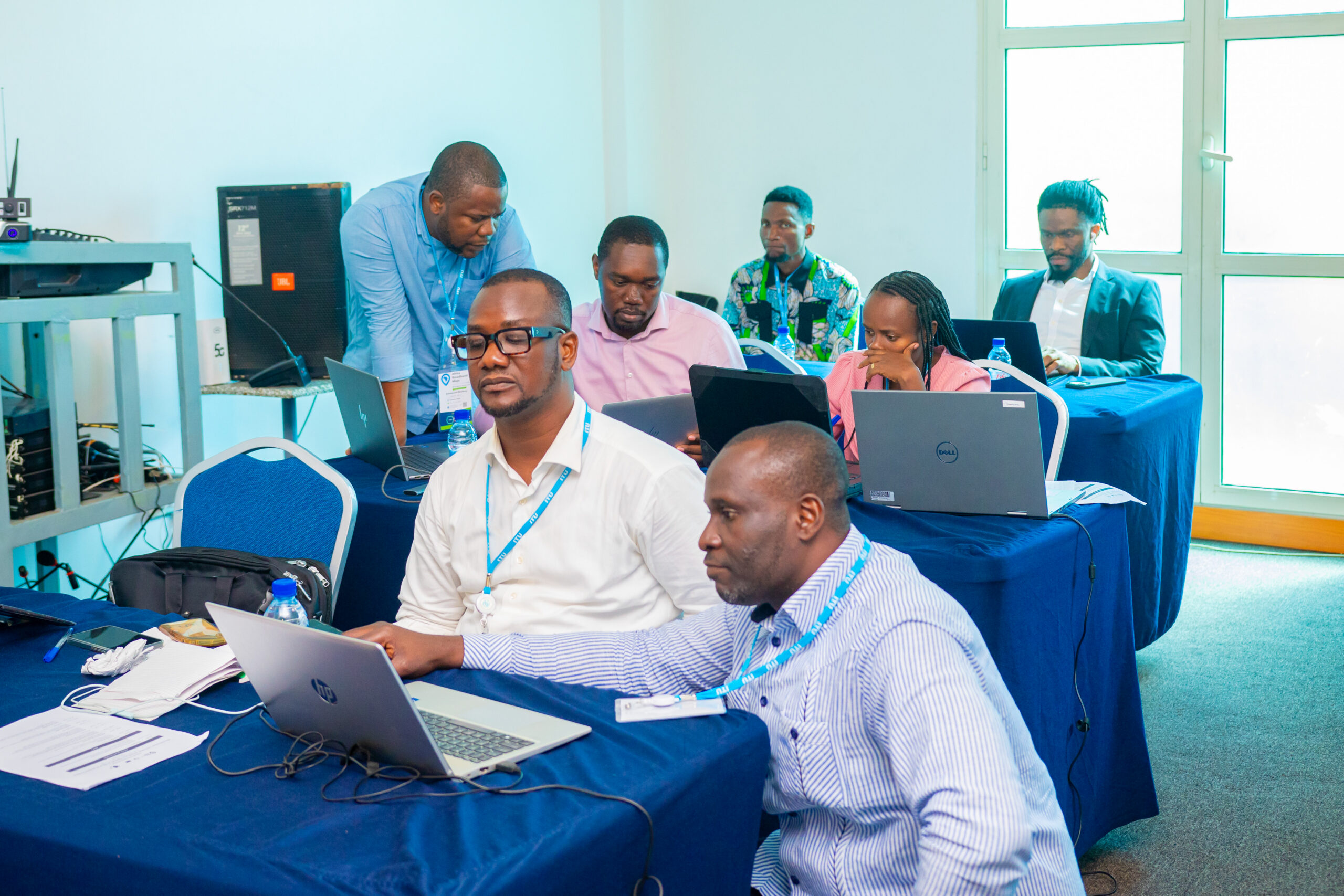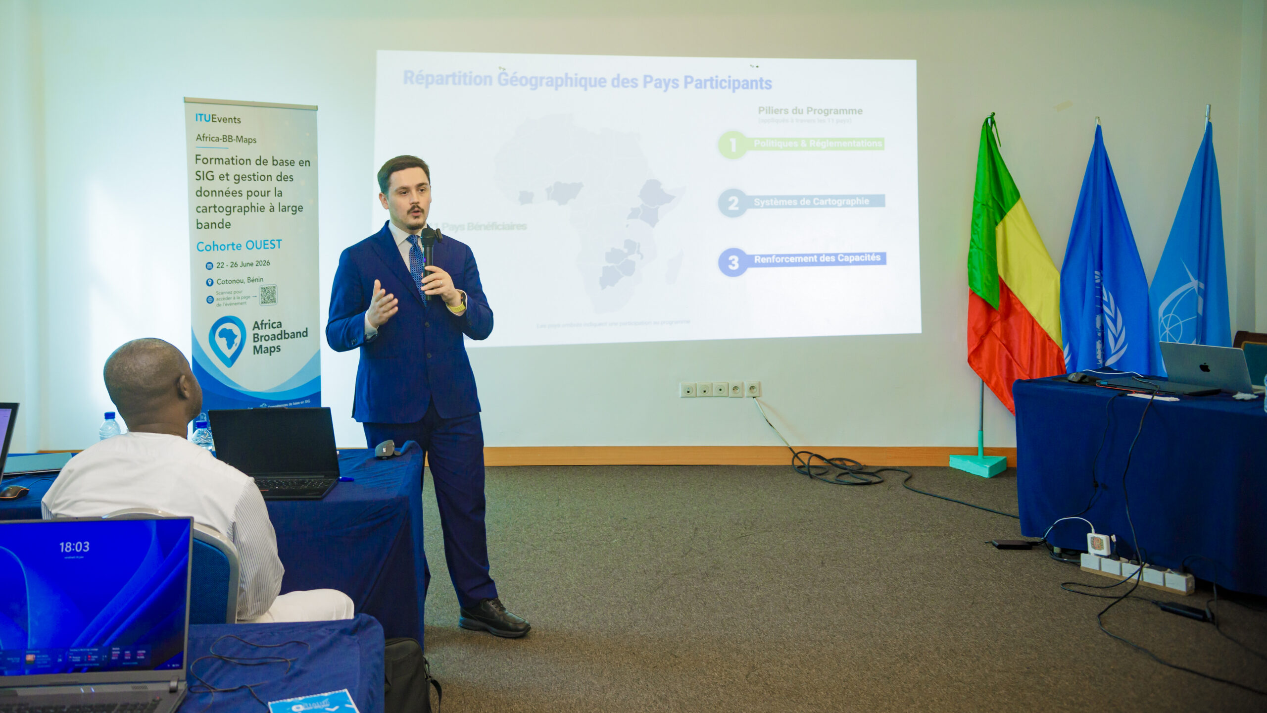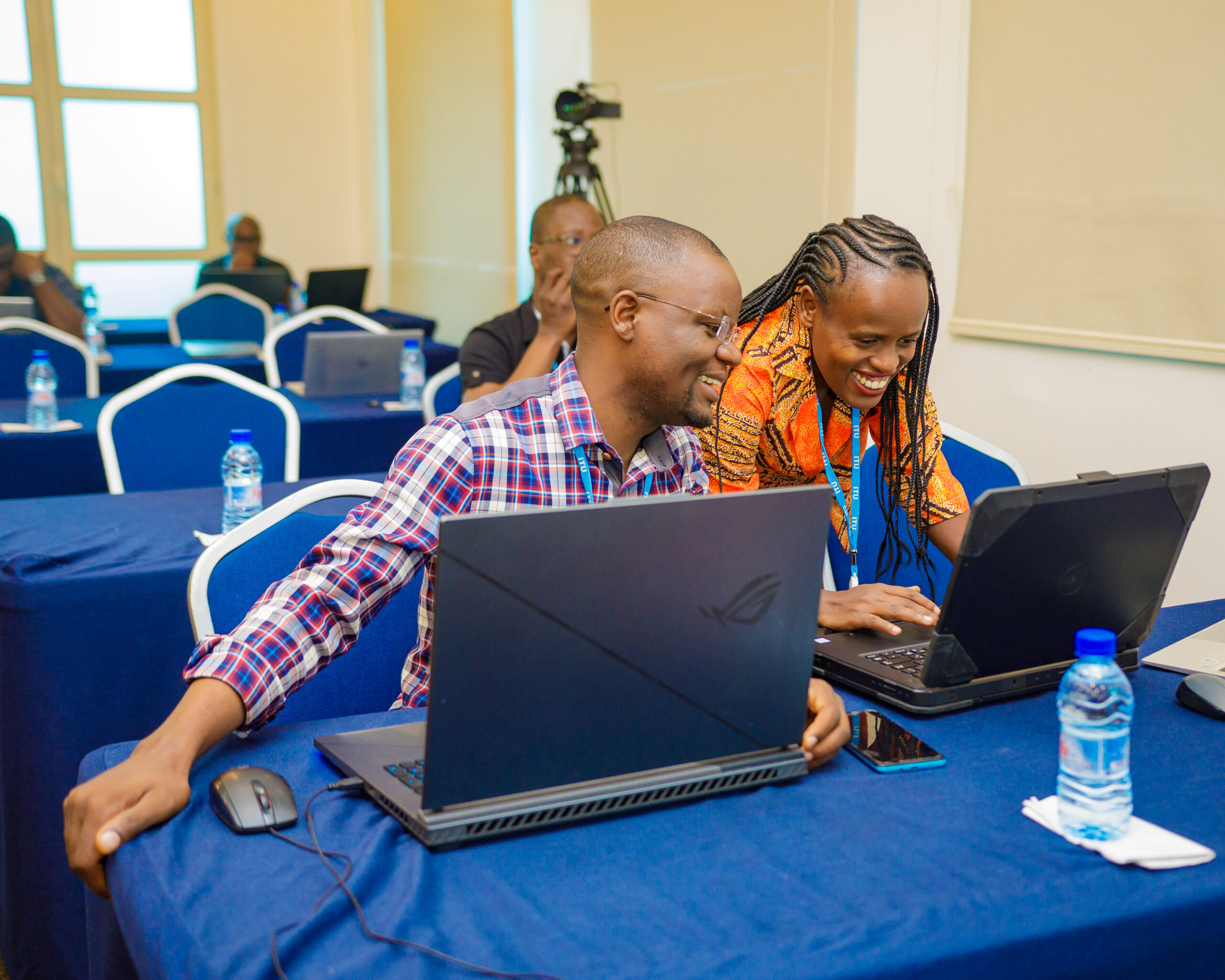

5. Africa-BB-Maps | Subregional Basic GIS Training in Benin
Information
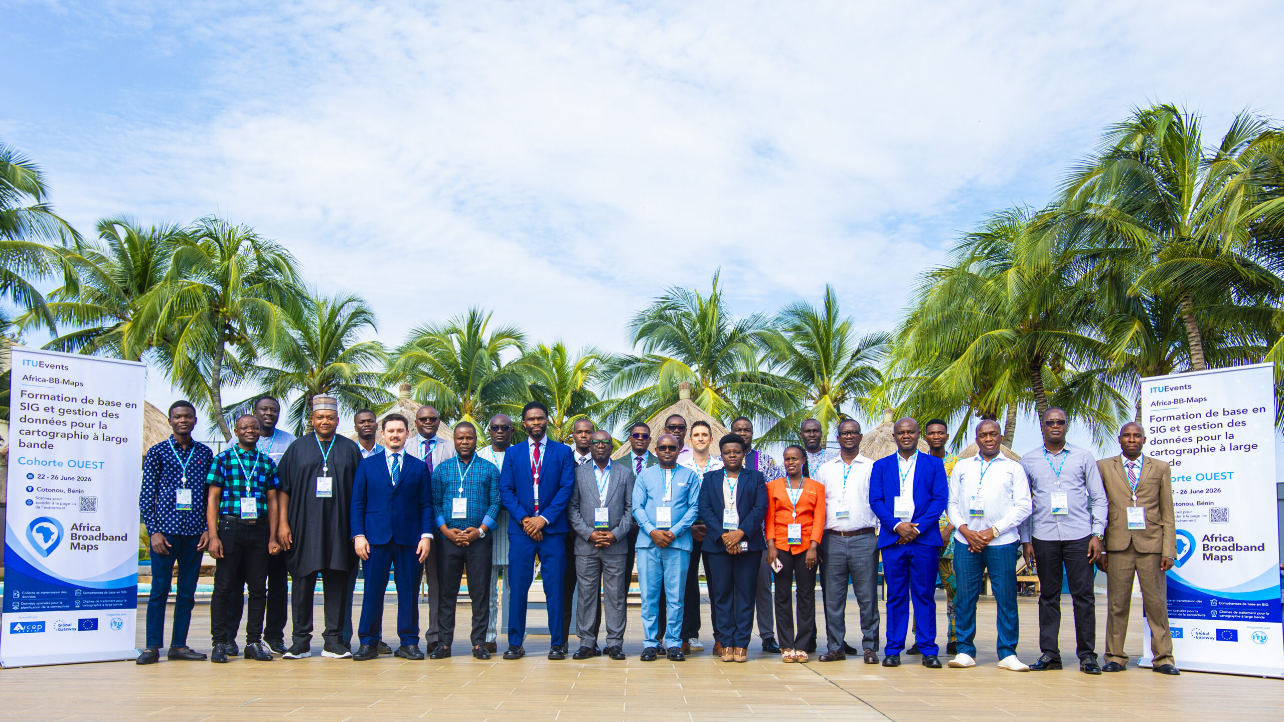
Date/Time: 22-26 June 2026
Location: Cotonou, Benin.
Registration link for the training: Registration closed.
Who can Participate?
The training is open to national technical focal points, GIS specialists, data management officers, and technical staff involved in broadband data collection, preparation, validation, and reporting from Côte d’Ivoire, Benin and Burundi.
Description:
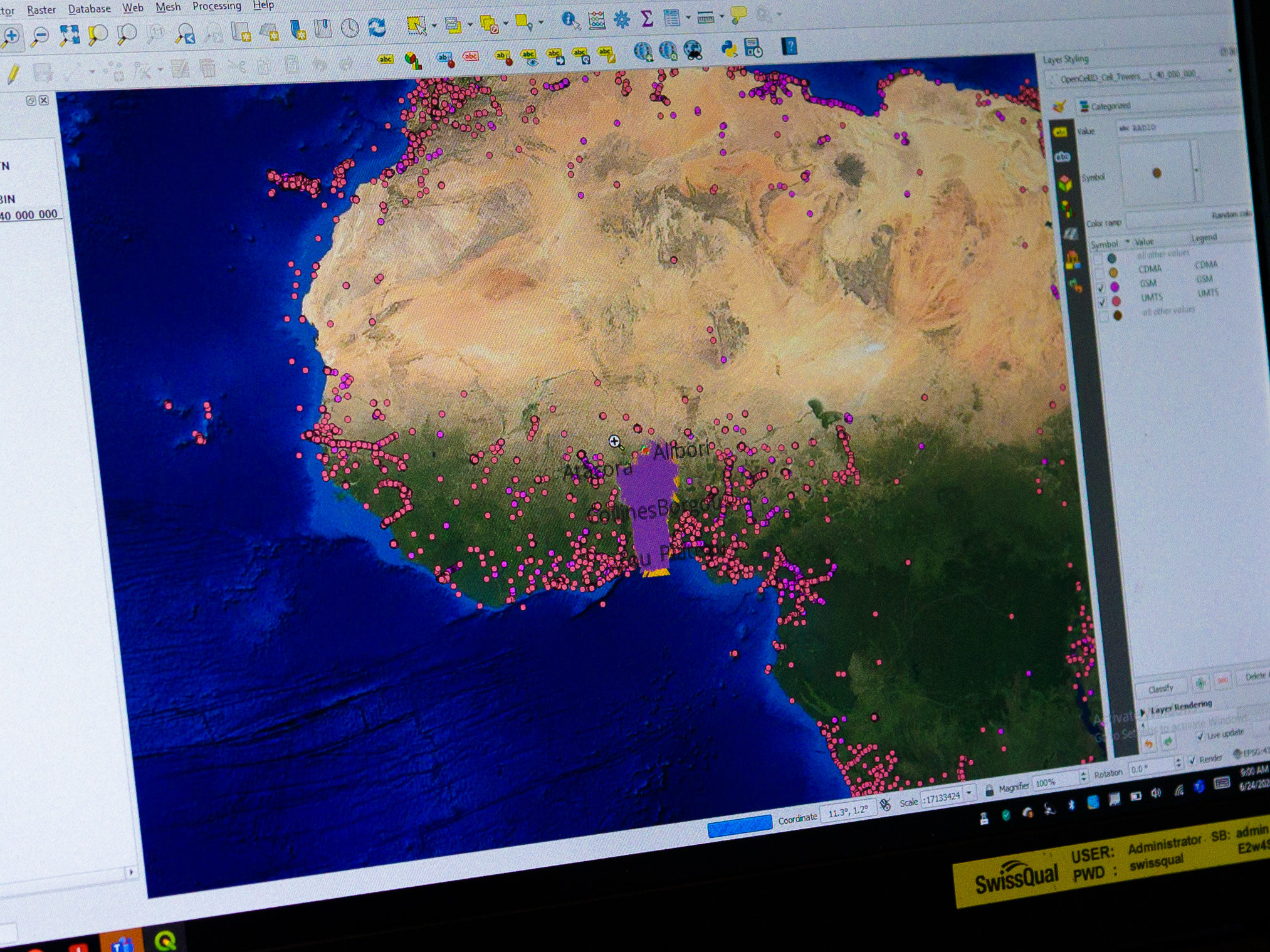
This introductory course builds foundational competencies in Geospatial Information Systems (GIS) using QGIS, within the context of national broadband mapping systems under the Africa‑BB‑Maps initiative. The training is delivered by arx IT, leveraging its structured GIS capacity‑building approach.
Aligned with the TOR requirements, the course equips participants with essential GIS skills and prepares them to progress toward more advanced spatial data management and enterprise GIS applications.
Based on a structured curriculum combining theory and intensive hands‑on practice, the course provides a comprehensive introduction to:
- Core GIS concepts and spatial thinking for broadband infrastructure mapping, including vector and raster data models, coordinate reference systems, map projections, and metadata
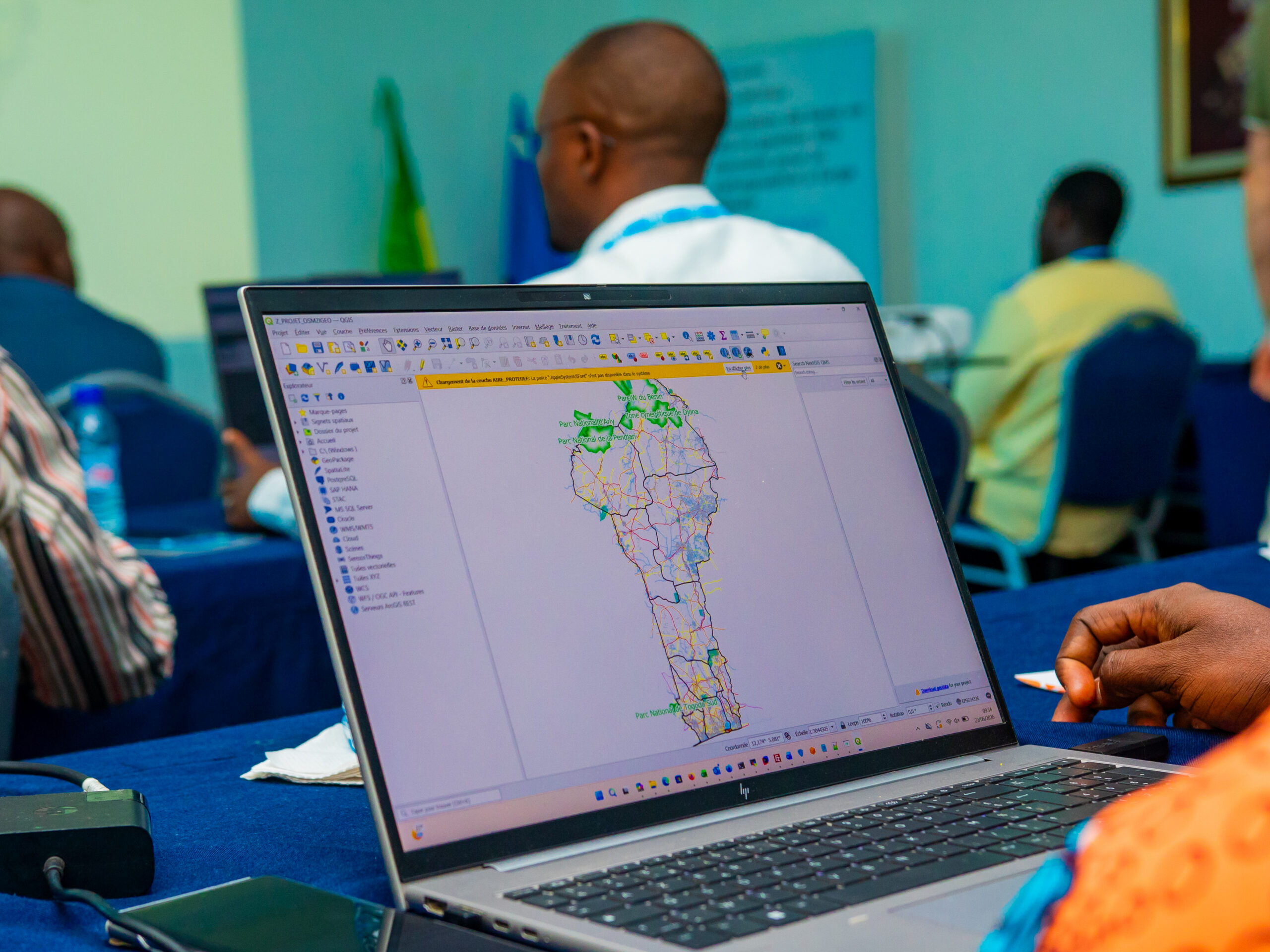
- The QGIS environment, including interface navigation, data visualization, and project configuration for effective spatial data exploration
- Data management and visualization workflows, including symbology, labeling, thematic mapping, and cartographic layout production for reporting purposes
- Data querying and integration techniques, including SQL-based attribute queries, joining external datasets, and exporting GIS data
- Creation and editing of spatial datasets, including building vector layers, managing attributes, and structuring geospatial data
- Introduction to raster data processing and analysis, including georeferencing, terrain analysis, and the generation of derived mapping products
- Basic spatial analysis workflows relevant to broadband mapping, such as buffer creation, overlay analysis, and coverage assessment
- Foundational concepts of spatial databases, including integration with PostgreSQL/PostGIS for managing and organizing geospatial data
Through guided hands‑on exercises using broadband‑related datasets (such as fibre networks, mobile coverage layers, infrastructure assets, and administrative boundaries), participants develop the practical skills needed to manage, analyze, and visualize spatial data, and to produce reliable mapping outputs for regulatory and planning purposes.
Entry Requirements
Qualifications or experience needed to participate in this training course:
- No prior GIS experience required
- Basic computer literacy
- Institutional role relevant to broadband mapping or data management
Participants need to have completed by 30 March the following two self-paced courses:
Selection criteria: Nomination by the participating countries & relevance of role to national broadband mapping implementation
Learning objectives
Upon completion of this course, participants will be able to:
- Identify and explain fundamental GIS concepts and spatial data structures.
- Navigate and manage projects within QGIS.
- Organise and manage broadband-related spatial datasets.
- Create and edit spatial features and associated attribute data.
- Apply appropriate symbology and labelling techniques for professional map visualisation.
- Perform basic attribute queries and spatial selections.
- Integrate tabular broadband datasets using joins and relates.
- Design structured map layouts suitable for regulatory reporting.
- Interpret basic spatial analysis outputs in support of broadband planning decisions.
Methodology
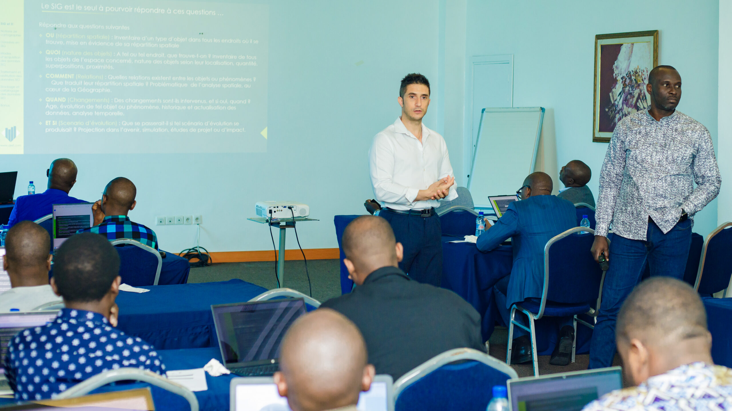
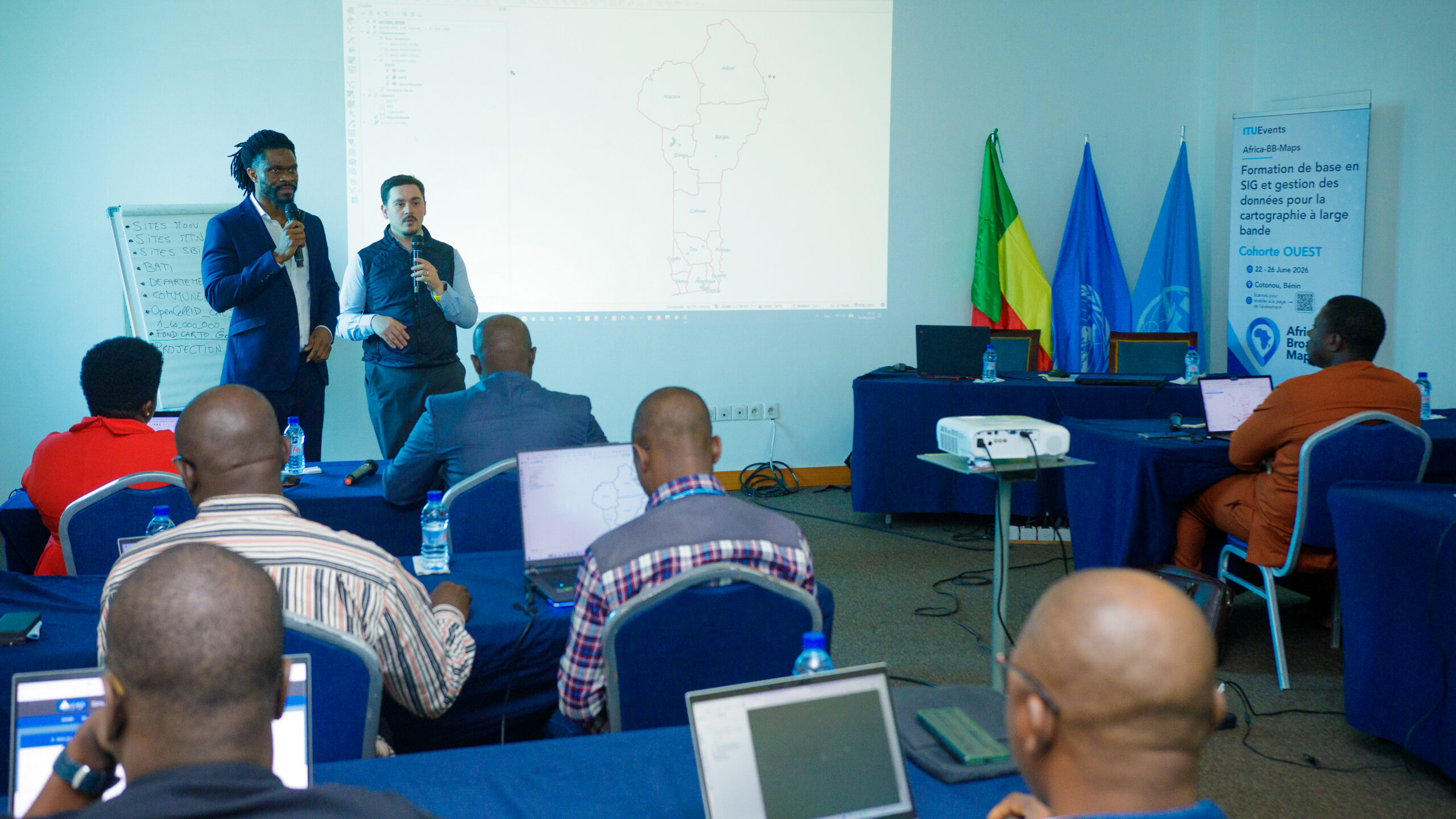
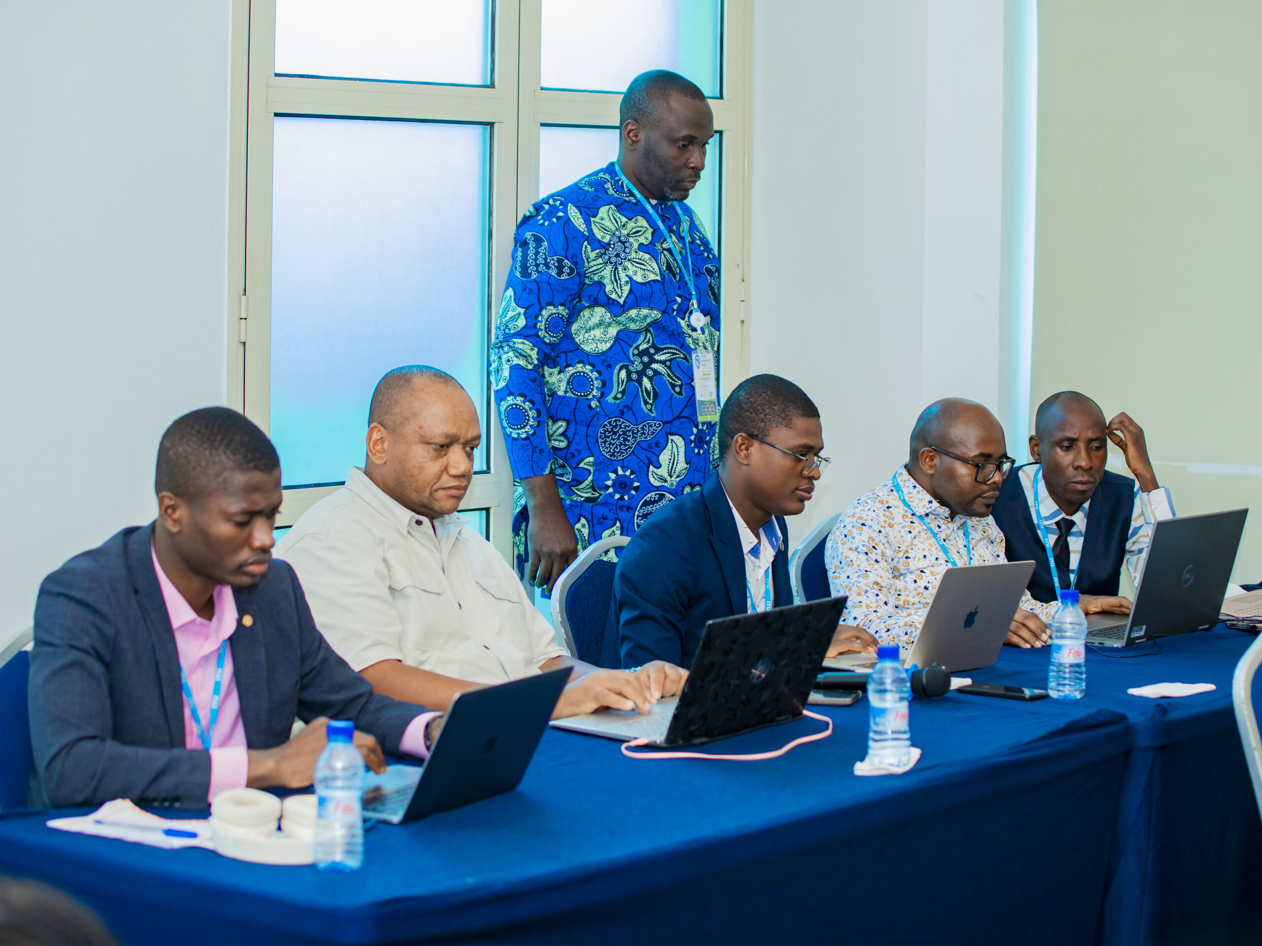
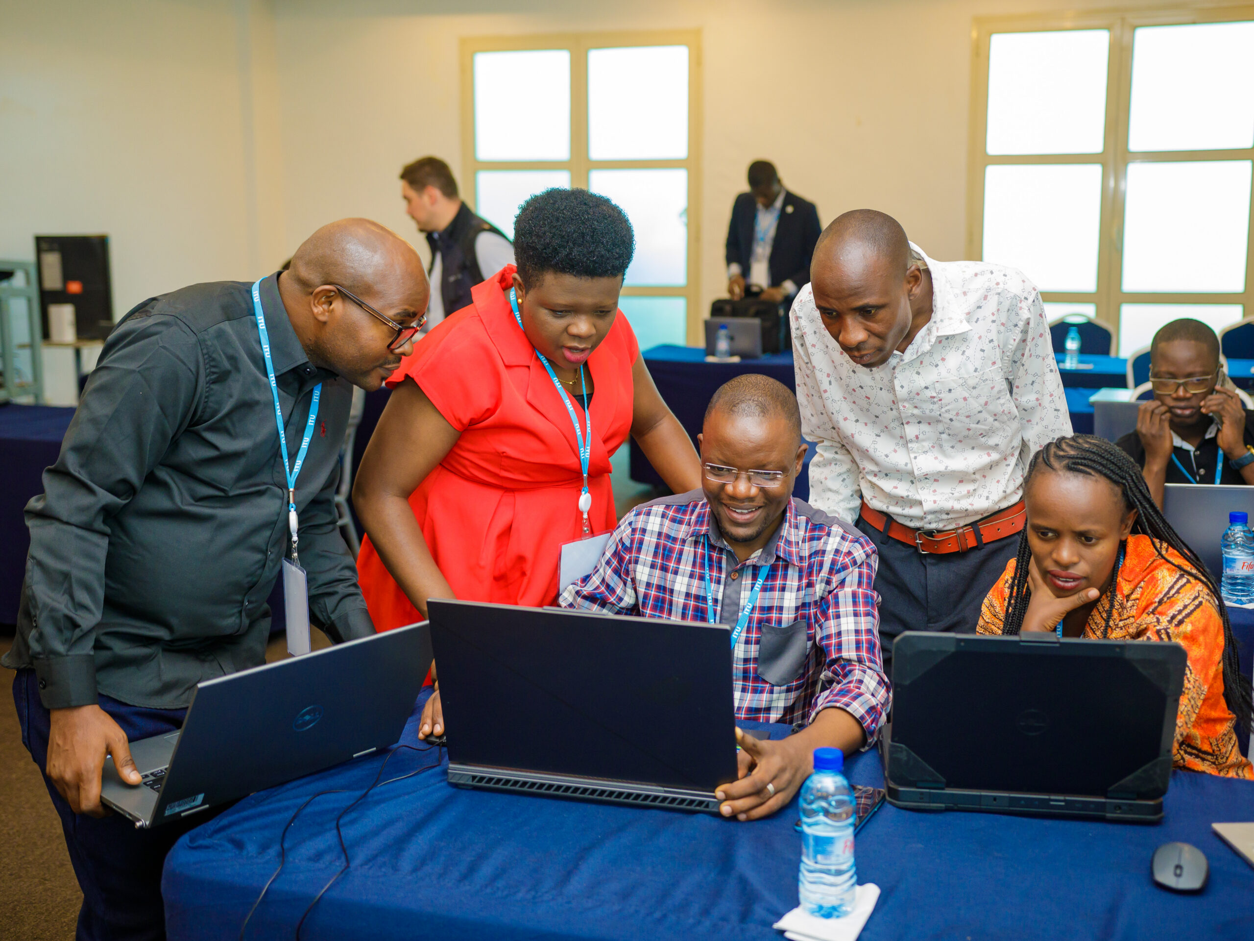
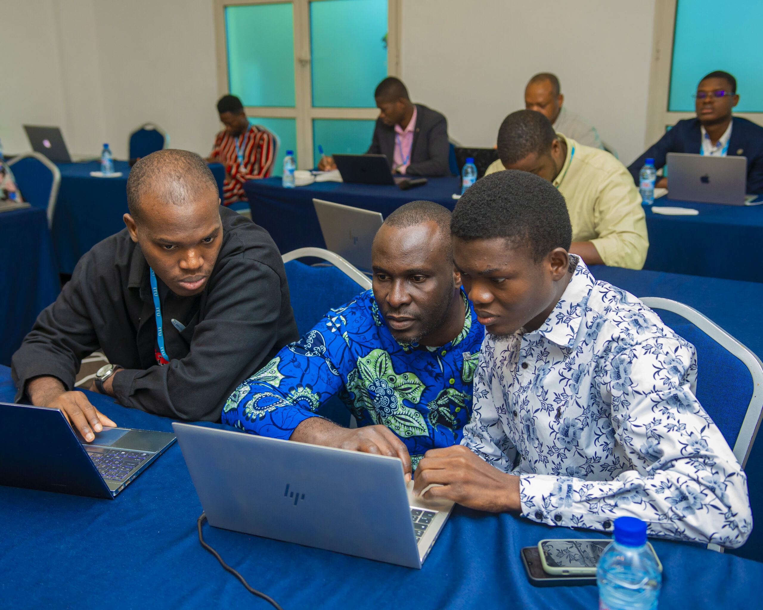
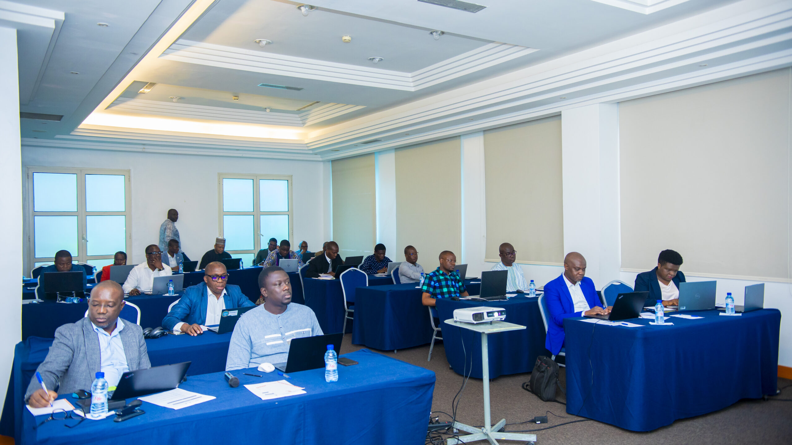
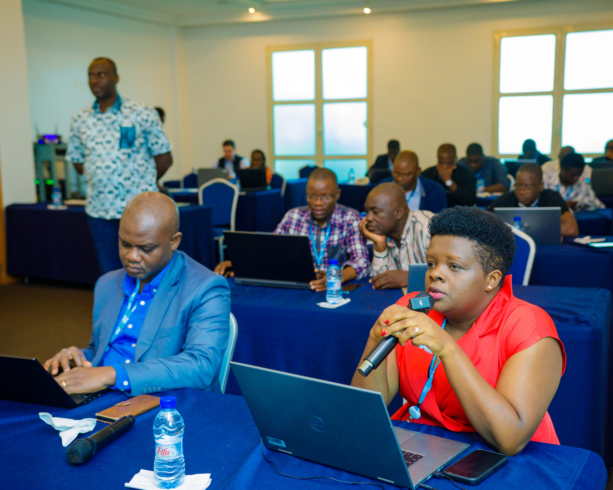
Instructor-led sessions combining structured presentations, live demonstrations, guided hands-on exercises, practical labs, and broadband-focused case studies.
The methodology emphasises experiential learning, with a minimum of 60% of training time dedicated to practical exercises in QGIS.
Assessment and grading
Practical exercises and labs: 60%
Active participation and attendance: 40%
Total: 100%
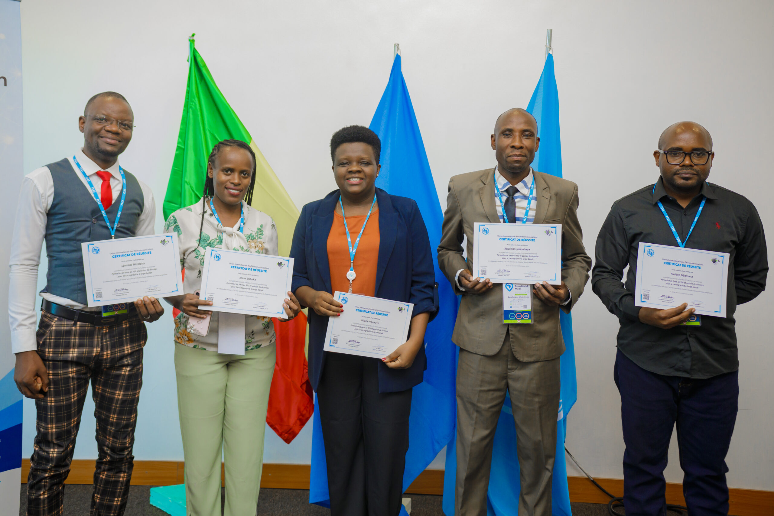
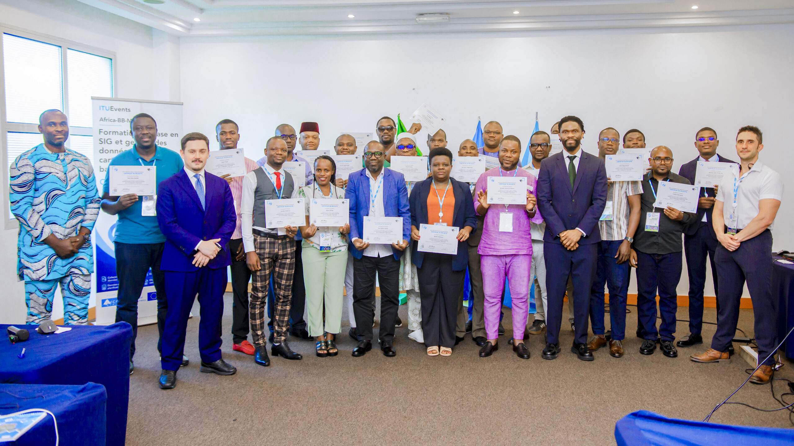
A total score of 70% or higher is required to obtain the ITU certificate
Presentations:
Recordings:
Photos of the event: